
Walk Cherokee County Streets
Begin the Cherokee County street directory with the address, not a guess about a household. The Cherokee County Spatialest property search accepts an address with autocomplete and returns the parcel, owner, account, situs address, and assessed value. Situs means the physical place of the land. It is distinct from the mailing address used for tax correspondence. Save the parcel identification number, or PIN, because it remains useful when a road label, city name, or ZIP presentation changes.
A reliable search moves from the current parcel to sources created for other purposes. Each source answers a narrower question. Ownership, title, registration, and past occupancy should never be merged into a single claim.
- Run the complete address in Spatialest. Record the physical address, owner, mailing address, PIN, legal description, subdivision or land lot, and deed book and page.
- Open the county GIS and click parcels along the road. Use parcel and aerial layers to check adjacency instead of assuming that house numbers run in a neat order.
- When lawful access is available, sort the official Georgia voter file by its segmented residence-address fields. The individual MVP form is not a public street browser.
- Use the assessor's book-and-page link or search LandmarkWeb. A deed identifies parties to a recorded transfer and the land involved, not every occupant.
- For older household clues, ask History Cherokee and the Sequoyah Regional Library about the exact directory title and year. No full local reverse-directory run was verified online.
Cherokee Street Search Fields
Spatialest separates four search modes. None is required across the whole portal because the user selects the mode that matches the known fact. Address mode is best for a street directory search, while parcel and owner modes help recover a property when the displayed address has changed. Result cards also distinguish the account from the parcel and show the assessed value.
| Search mode | Input | Best use |
|---|---|---|
| Address | Autocomplete street address | Find the parcel at a known physical location |
| Parcel | Parcel identification number | Bridge spelling, city, or address changes |
| Owner | Owner name | Find titled land tied to a person or entity |
| Account | Tax account | Open the matching assessment record |
The live Spatialest screen shows how the address and parcel choices are separated. Its street search is a path to public tax facts, not a list of everyone at the address.
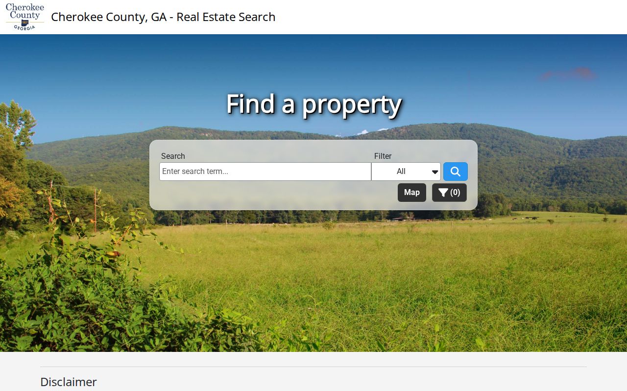
The captured portal makes autocomplete and parcel results visible, which helps prevent selecting a similarly named road elsewhere in Cherokee County.
Once the card opens, compare the sales grid with the structure details. The grid can show book, page, sale date, deed type, price, and whether the sale was marked qualified. Structure fields may include actual and effective year, area, construction, stories, roof, foundation, heat, bedrooms, bathrooms, and accessories. These facts can explain why two nearby assessments differ, yet they still say nothing certain about the people inside. Use the Cherokee County street directory to organize public land evidence, then describe each field for the limited purpose for which the assessor keeps it.
Map Cherokee Streets in GIS
The Cherokee County GIS Online Map turns a single property result into a street-by-street inspection. Click neighboring parcel polygons and preserve each PIN. The map services expose address and parcel layers, with a 1,000-record maximum for identify or query operations. Useful layers include zoning, city boundaries, precinct and commission districts, school districts, floodplains, water and sewer, fire zones, and growth boundaries.
Those layers matter because a postal city does not settle municipal jurisdiction. GIS maintains boundaries for Canton, Woodstock, Ball Ground, Holly Springs, Waleska, Nelson, and Mountain Park, and updates city boundaries from annexation information. County Development Service Center records cover unincorporated Cherokee County and Waleska. Other cities keep their own permit and code files.
The county GIS department page provides addressing and mapping resources behind that work.
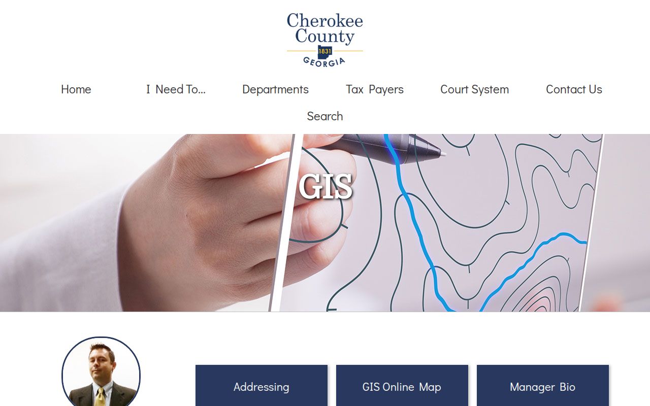
This county page is the practical bridge between a street label, an assigned address, and the government boundary that controls the next record search.
Operational layers also include cemeteries, churches, schools, parks, soils, and water features. Those layers add place context rather than resident names. A school-district polygon, for example, identifies a public boundary, not where a child attends. Keep a short search log with the selected layer, parcel PIN, and inspection date. County maps are updated, and a later annexation or corrected address can make an old screenshot look different from the live map.
Cherokee Address Terms Decoded
Four terms keep a by-address search accurate. They describe land or indexing methods, not a private household roster.
- Parcel
- A mapped unit of land identified by a county PIN.
- Situs address
- The physical location of land, separate from the owner's tax mailing address.
- Plat
- A recorded survey map showing lots, boundaries, roads, and related legal references.
- Criss-cross directory
- A directory organized by street or address rather than only by a person's surname.
Use the legal description, land district, land lot, subdivision, lot, and plat reference when the same road appears under different city or ZIP labels. These facts are more stable than a typed street string.
Cherokee Street Directory Records
Several official records can be searched by street or connected through the PIN. Their access points and meanings differ. The table keeps title, location, construction, and billing evidence separate.
| Record Set | Keeper | What It Shows | Access |
|---|---|---|---|
| Parcel card | Tax Assessor / Spatialest | Owner, mailing and situs addresses, PIN, legal facts, structures, sales | Free current portal |
| Parcel map | Cherokee County GIS | Adjacent parcels, addresses, zoning, boundaries, districts, flood and utilities | Free viewer and map services |
| Deeds, liens, plats | Clerk of Superior Court | Parties, book/page, filing date, and legal chain | Landmark 1989-current; older OnPoint or counter |
| Permits | DSC / city office | Project address or PIN, contact, status, fees, and inspections | CherokeeStatus and CityView, or municipal custodian |
| Tax billing | Tax Commissioner | Current bill, payment, and delinquency | Separate from assessor valuation |
The PIN is the best join. It connects assessment, map, and permit evidence. Book and page then connect a parcel sale to the recorded instrument. When a portal fails, the Clerk's counter at 90 North Street is available for land research on weekdays from 8:00 a.m. to 4:30 p.m.; deputies assist, but staff do not research documents by telephone.
The Tax Commissioner belongs in the chain only when billing or payment status matters. That office collects tax, while the Tax Assessor values and describes the parcel. Confusing them can lead to a request at the wrong counter. Likewise, the County Clerk coordinates general open records for the Board of Commissioners but does not hold deeds. Land instruments belong to the elected Clerk of Superior Court. A focused Cherokee street directory search names the record and sends it to its actual custodian.
Deeds Along a Cherokee Street
A parcel card can list sales with book, page, date, deed type, price, and whether the transfer was qualified. The assessor may link directly into LandmarkWeb. Search modes there include name, document, book/page, filing date, clerk file number, legal, and quick search. Name searches use “Last Name, First Name,” date limits, category choices, and result caps. Search every reasonable spelling variant.
Landmark covers 1989 to the present. For an older chain, move to the linked OnPoint index books or visit the Clerk. The statewide GSCCCA real-estate index begins in 1999, so it cannot replace Cherokee's older route. Landmark posted a $25 monthly web subscription effective August 1, 2025; distinguish general index research from subscriber image functions and confirm current copy charges with the office.
Book and page searching is often safer than repeating a common surname. Landmark also offers legal search using starts-with, contains, or equals controls, plus document category, town, date, and a result limit. Clerk file number search is available when that identifier is known. The index changes often and carries no warranty. For a crucial title fact, inspect the instrument and obtain the appropriate copy from the Clerk instead of relying on a brief index line.
The current Clerk schedule distinguishes copies made without staff help, copies made with assistance, certified or exemplified pages, oversize sheets, computer printouts, and electronic delivery. An older copy page describes mailed prices differently. Do not blend the schedules. Call 678-493-6511 with the book, page, desired certification, and delivery channel, then ask which posted charge governs that exact order. Index access and a certified instrument are different products.
Two cutoffs matter. Cherokee's online deed index begins in 1989, while the statewide index begins in 1999.
Cherokee Permits by Address
Permits can date visible changes along a street. CherokeeStatus permit search accepts permit number, contact name, street address, parcel ID or PIN, map number, permit type, and a recent-period selector. A contact may be an applicant or contractor, so do not label that person as owner or resident without another record.
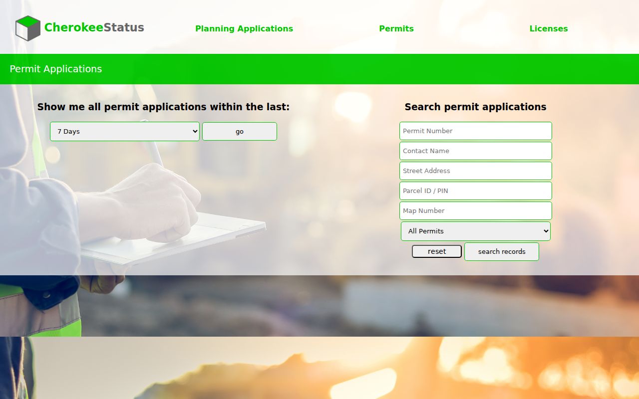
The form shows why the parcel number is useful: it can recover the right project record when an address is typed in a different form.
Cherokee County CityView adds property search, code status and fees, building and planning applications, business-license status, inspections, and payments. Registration is needed for transactions, but public status research remains useful.
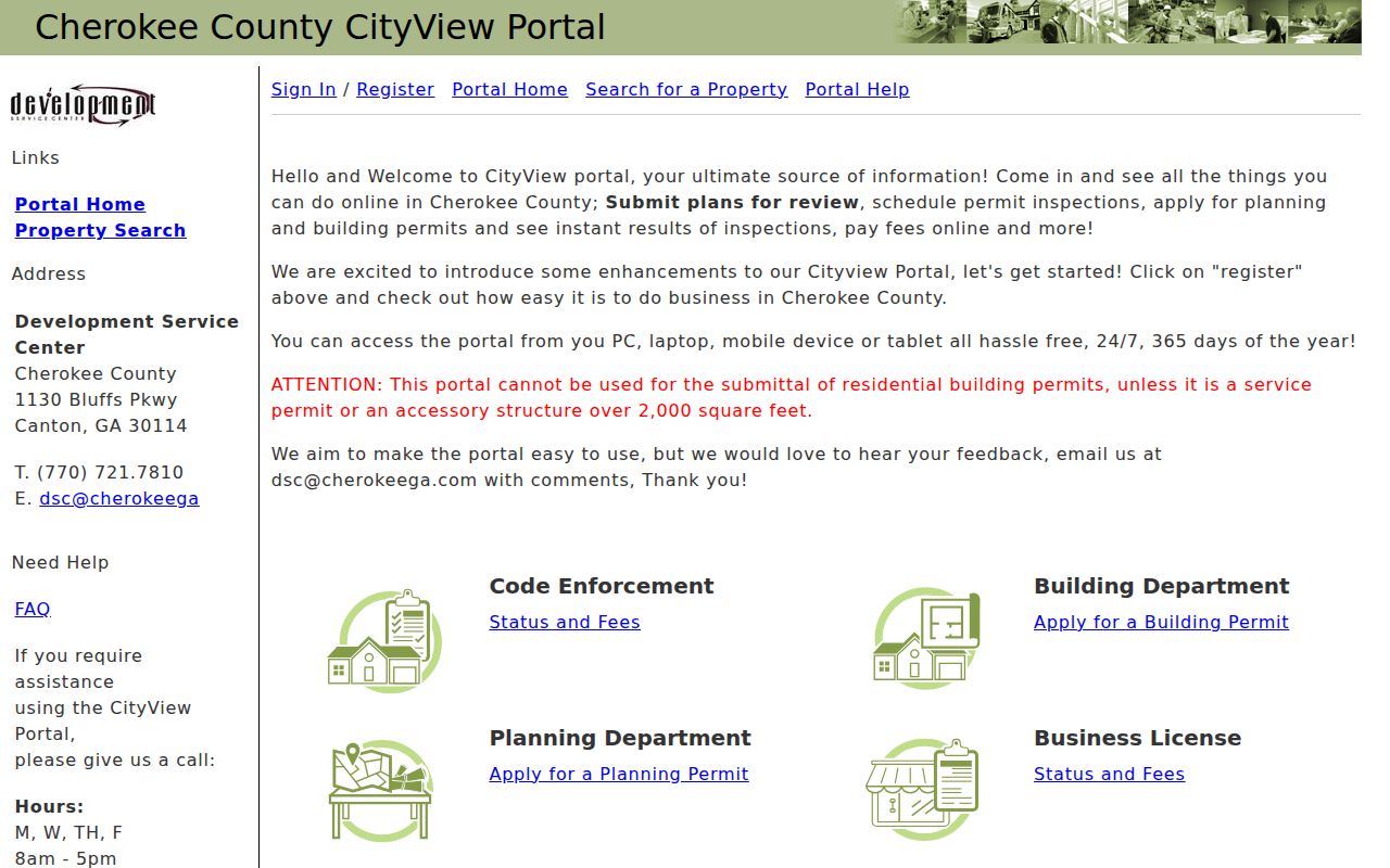
The CityView capture illustrates the separate property and application paths. Confirm jurisdiction in GIS before using county records for an address inside another city.
Canton, Woodstock, Ball Ground, Holly Springs, and other incorporated places may keep separate planning, permit, code, clerk, and municipal-court records. A “Canton” mailing address alone does not prove that Canton issued the permit. First use the GIS municipal layer. Then search the county DSC for unincorporated land and Waleska, or contact the correct city custodian. This small jurisdiction check prevents false gaps when a valid record simply sits in another system.
County inspection results may be searched by permit number or project address. CherokeeStatus also allows a recent-period browse, which helps when a new subdivision has many active files. CityView exposes status and fees for code and business-license matters as well as building and planning work. Report only the public field actually shown. A listed fee may be an amount due on the application, and a named contact may be the person managing the project rather than someone tied to the deed.
Cherokee Address Changes and ZIPs
County GIS assigns addresses through an application that records subdivision, land district, land lot, map number, and parcel number. The form allows residential, commercial, or other address types and asks for a site survey. The stated processing allowance is three business days. That county assignment establishes the street address; USPS controls delivery ZIP information, while GIS boundaries establish incorporation.
Check a finished address in the USPS ZIP Code Lookup when a mailing format or ZIP is uncertain.
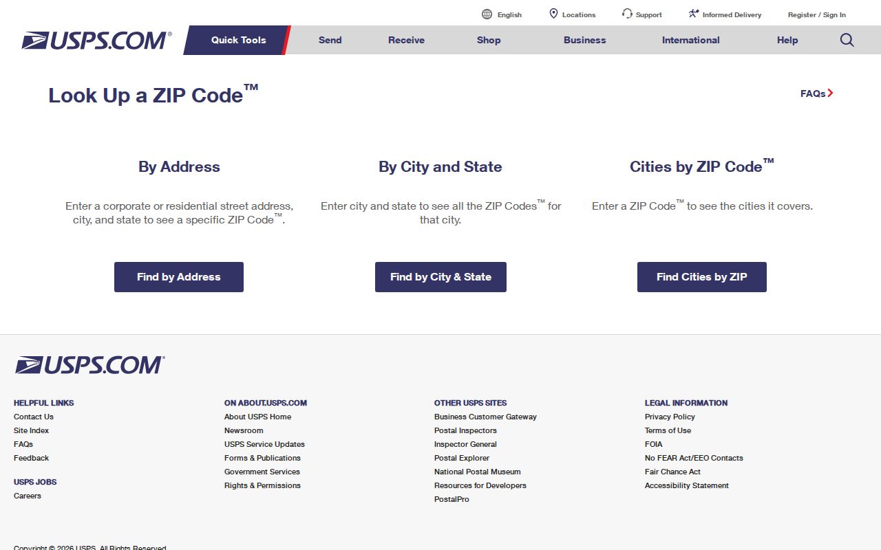
The USPS screen verifies delivery formatting, but it does not replace the county parcel, legal description, or municipal-boundary record.
For a renamed, annexed, or reformatted address, match the PIN and legal description first. Then compare plats and mapped boundaries. This prevents a Cherokee County street directory search from losing the correct parcel because its postal city differs from its government jurisdiction.
Cherokee Voter Data by Street
The free Georgia My Voter Page is an identity check. It requires first initial, last name, county, and date of birth, then returns registration status, precinct, polling place, and districts. It does not let the public browse a road. A lawful street-wide project instead uses the purchasable voter file, which contains segmented residence-address fields and district data.
Under O.C.G.A. § 21-2-225, elector data is public, but month and day of birth, Social Security number, email, driver's-license number, application location, and submitted bank statements are withheld. Commercial use is barred. VoteSafe protects qualifying voters, and Georgia's Safe at Home substitute-address program took effect July 1, 2026. Missing protected addresses are a lawful boundary, not a gap to fill.
The purchased file can include registration status, full name, birth year, residence address segments, precinct, districts, municipality, land lot and district, registration dates, and mailing-address segments. Georgia does not register voters by political party. A “last party voted” field records primary participation, never party membership or a ballot choice. Countywide data was priced at $70 effective July 1, 2024, with electronic delivery described as about two weeks and no custom or expedited orders. Confirm the current terms before ordering.
Cherokee County Elections is the local correction point for registration records. The office is at 193 Lamar Haley Parkway in Canton and publishes 770-479-0407. If a legitimate individual check is needed and the required birth date is already known, use Georgia My Voter Page. Do not try to reverse-engineer withheld details or use registration evidence to claim the composition of a home.
Cherokee Reverse Directory Limits
A criss-cross volume would arrange entries by address and can help connect a street number to a named householder in a specific year. Research confirmed a 2005 Canton directory and an undated directory covering Canton, Ball Ground, Kille, Mullin, and Woodstock, but no authoritative online catalog established a complete local run or verified reverse section.
Ask History Cherokee for the title page, year, abbreviation key, and whether the volume contains a street section. Its archive holds more than 100,000 documents, photos, oral histories, maps, artifacts, and family-history items. The research library at 221 East Marietta Street in Canton is available by appointment Tuesday through Saturday. The broader collection method belongs on the Cherokee County city directory page; here, use any verified reverse entry only as dated occupancy evidence.
Cherokee Street Directory Boundaries
A parcel owner may live elsewhere. A tax mailing address can belong to a trustee, company, post-office box, tax service, or out-of-county owner. Renters and other household members do not appear on the property roll. A permit contact may be a contractor. A voter file covers registered electors, not everyone at an address, and it lawfully excludes protected fields and some protected people.
Driver-address data is protected by the federal Driver's Privacy Protection Act and state rules. Utility accounts are not a public household directory. A directory entry is historical evidence for the year printed, not proof of a present resident. When the goal shifts from a road to verifying one named person, use the Cherokee County resident lookup and state each record only as strongly as its purpose allows.
Lawful use. Cherokee County address records support personal research, property review, genealogy, and civic understanding. Never use them to stalk, harass, intimidate, or harm anyone.