
Cherokee Previous Residents by Era
Different eras leave different kinds of evidence. Modern parcels and deeds form the starting frame, while older title books, census schedules, newspapers, and archive maps extend the trail. No single source proves every person who occupied a Cherokee County address.
| Source | Years It Covers | Where Held | What It Shows |
|---|---|---|---|
| Landmark deeds | 1989-current | Clerk web index | Indexed instrument, parties, legal data, book and page |
| OnPoint index books | Pre-1989; earliest unstated | Linked system and Clerk counter | Older grantor-grantee path |
| Deeds and mortgages | 1833-1913 listed | Georgia Archives / FamilySearch | Early title instruments and parties |
| City directory | 2005 verified; broader run unresolved | History Cherokee | Dated name and address entry |
| Federal census | 1840-1880 and 1900-1920 listed; public through 1950 | Archives and library resources | Household and occupancy snapshot |
| Historic newspapers | Digitized runs from 1833-1965 | Digital Library of Georgia | Notices, obituaries, ads, and address clues |
For a recent address, begin with the current assessor record and the latest deed. For an early chain, use the legal description to reach deed books and maps before testing names in household sources. The 72-year federal census rule makes schedules through 1950 public as of the research date.
Permits add a modern work history through CherokeeStatus and CityView, though their earliest online year was not published. County deed and mortgage microfilm is listed from 1833 through 1913. Probate, marriage, court, church, cemetery, military, and newspaper collections can then test a family link or explain a transfer. Treat every item as a dated snapshot. A name in a legal advertisement or permit application is evidence of that event, not automatic proof that the person lived at the property.
Anchor a Cherokee Previous Address
Search the address in Cherokee County Spatialest. Save the physical or situs address, owner, separate mailing address, PIN, legal description, subdivision, land district, land lot, and the current sale's deed book and page. The stable land facts matter more than the current street string. A postal city may not match municipal jurisdiction, and annexation can change which office keeps later permits.
The parcel card also lists building years, sales, assessed facts, and map links. These can frame a time period, but they do not name all previous residents. A year-built field describes the assessed structure and should be checked against permits and historic evidence when the house has been replaced or altered.
Mailing and physical addresses need separate notes. The county GIS schema stores owner and mailing city, state, and ZIP apart from the physical address, city, and ZIP. An owner may receive tax mail at an office, post-office box, trustee, or out-of-county address. If the two addresses match, that supports a possible owner-occupancy link, but it still does not identify the rest of a household. This distinction keeps a previous residents search from turning title data into an unsupported occupancy claim.
Trace Cherokee Previous Residents in Deeds
The Cherokee County deed chain begins with today's owner and purchase instrument. In a deed, the grantor transfers an interest and the grantee receives it. Work backward through acquisitions, keeping the legal description beside every name so people with similar names are not merged.
- Copy the current parcel's PIN, legal description, and deed book and page from Spatialest.
- Open that purchase instrument in LandmarkWeb. The seller or grantor is the immediately prior titled owner.
- Search that seller as a grantee using “Last, First,” spelling variants, dates, category, and legal facts. Find the deed by which that person acquired the same land.
- Repeat the process to 1989. Confirm each transfer with the land district, land lot, subdivision, lot, tract, plat, or PIN.
- Before 1989, move to OnPoint index books, the Clerk counter, or the relevant microfilm. The statewide GSCCCA index starts in 1999 and cannot extend the local chain farther.
- Grantor / grantee
- The party transferring an interest and the party receiving it.
- Chain of title
- The linked series of recorded transfers for the same land.
- Legal description
- The formal land identity based on lots, districts, plats, or boundaries, which can survive address changes.
Cherokee Previous Residents Before 1989
LandmarkWeb covers 1989 to the present. Its searches include name, document, book/page, filing date, clerk file number, legal information, and quick search. The portal tells researchers to try all spelling variations. It also posts category-specific verified-through dates, so record the date on which a result was inspected.
The pre-1989 OnPoint index-book route carries the next stage of the search.
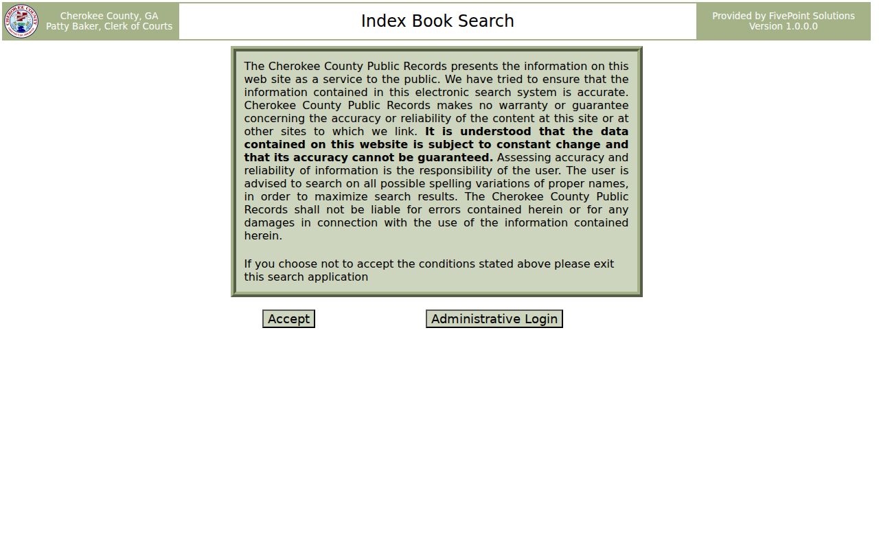
The captured screen marks the necessary handoff from the modern index. If remote access is incomplete, researchers may use the Clerk's counter at 90 North Street, Canton, from 8:00 a.m. to 4:30 p.m. on weekdays. Deputies can assist, but staff do not perform recorded-document research by telephone.
A current parcel card can deep-link to a deed by book and page in Landmark. The official sample book-and-page route demonstrates that handoff.
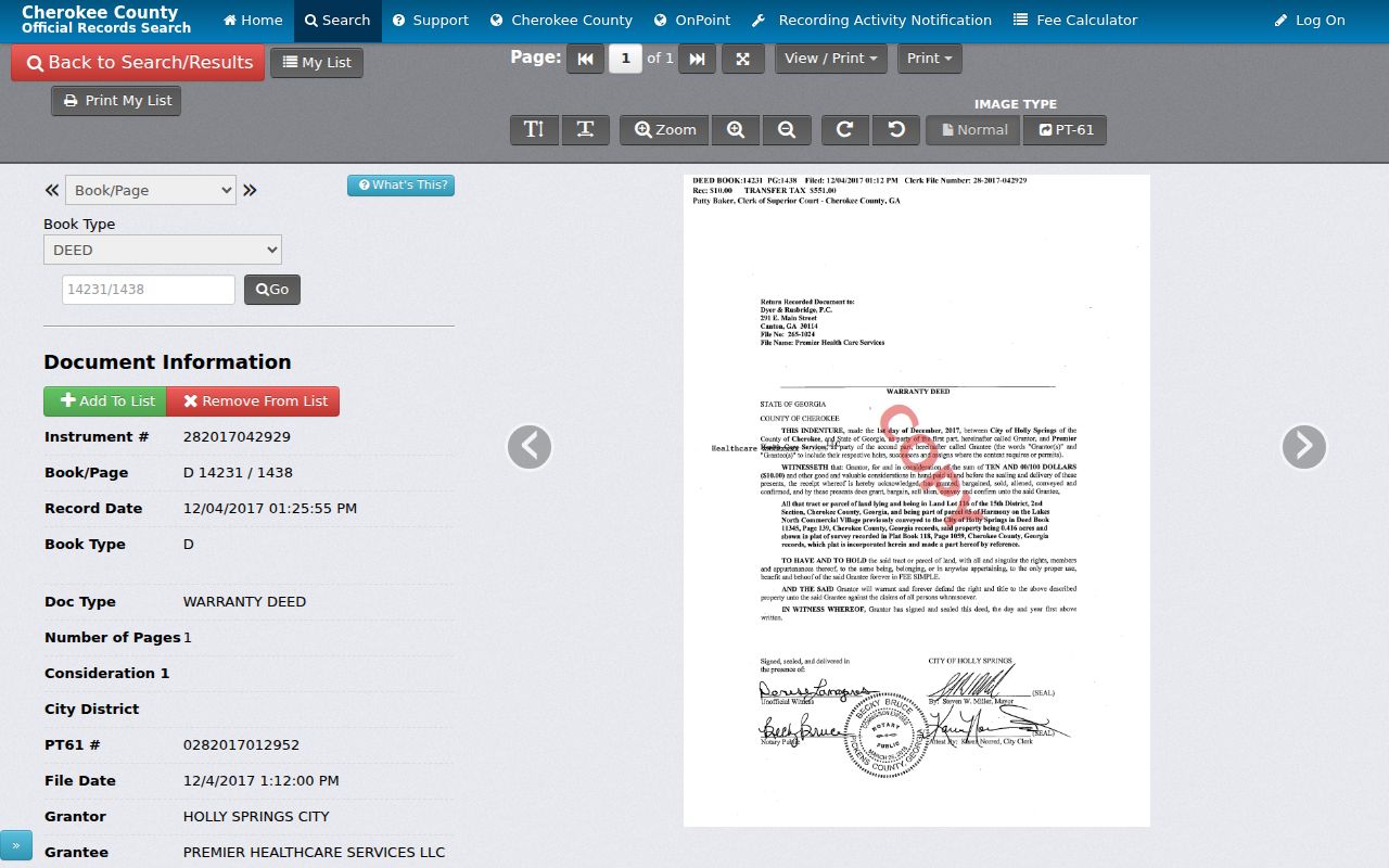
The image confirms the connection between assessor sale references and the recorded instrument, without establishing that any titled owner occupied the property.
Landmark's name form permits document category, begin and end dates, relative date shortcuts, and result caps. Document search adds document type and town, while legal search accepts text and matching controls. Save the search spelling and date. A spouse, trust, estate, company, or spelling change can interrupt an apparent chain even when the legal land identity stays the same. Search both party roles where appropriate and inspect the deed image or Clerk copy before recording a transfer as fact.
Map Previous Cherokee Resident Addresses
No authoritative local Sanborn fire-insurance year list or county house-history guide was found. History Cherokee's 132-page archive index is the practical geographic fallback. It lists 1907 Acworth and 1950 Waleska quadrangles, Canton maps, maps derived from 1955 aerials, a Woodstock aerial map, Ball Ground traced from an 1882 survey, and named subdivision plats.
Compare those maps with the county GIS parcel and municipal-boundary layers. Keep the legal description and land lot fixed as the street wording changes. This method helps bridge an old place name, a later subdivision label, and today's parcel without guessing that similar street numbers describe the same site.
The county addressing application itself records subdivision name, land district, land lot, map number, parcel number, and a site survey. Those fields show why a modern house number is only one label for the land. USPS remains the source for the delivery ZIP, while GIS is the source for municipal boundaries. When a historical newspaper gives only a community or road name, work from map and deed geography toward the modern address, not backward from a matching number alone.
Cherokee Records Survived 1865
Local record loss should not be assumed. Research documents that Clerk John B. Garrison saved county records before the 1865 courthouse fire. That story explains why early deeds, court materials, and county records may still support a previous residents search even though the courthouse burned.
The Georgia Archives Cherokee county card identifies available county material.
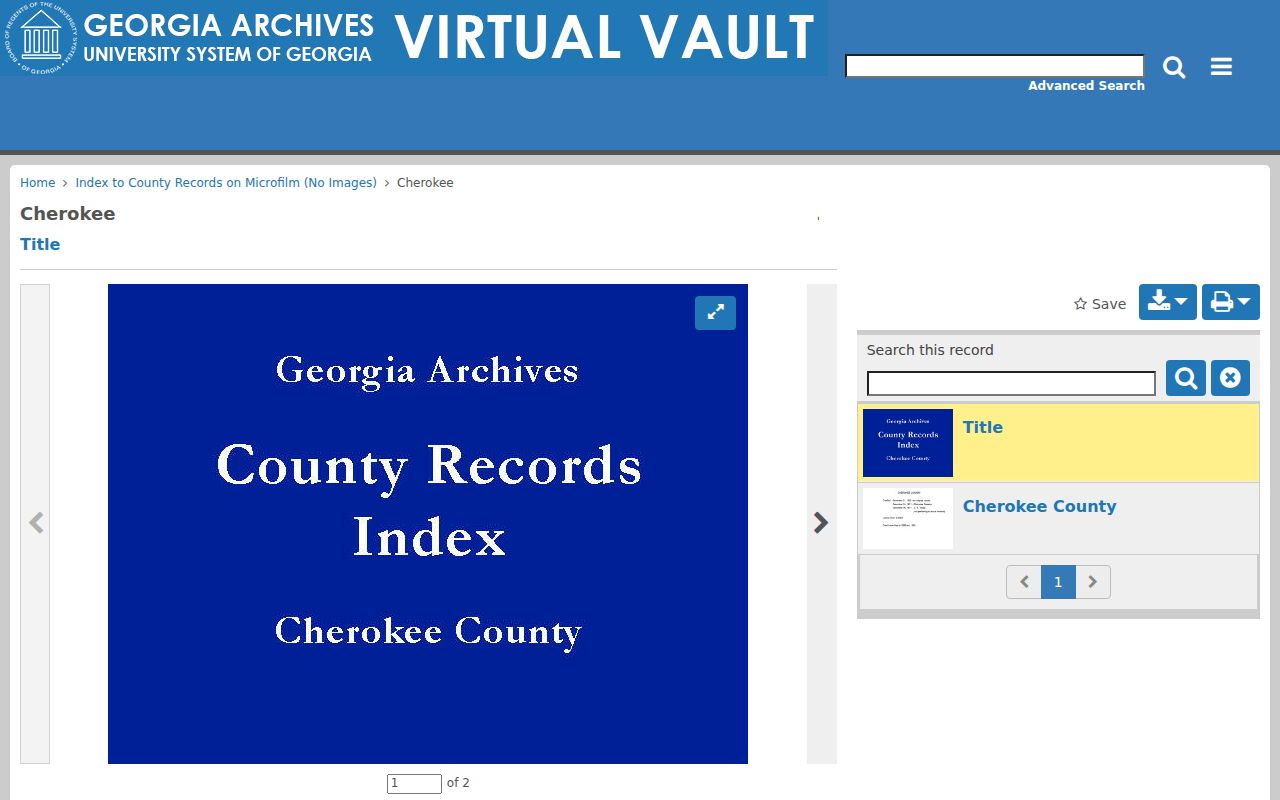
The county card is a finding aid, so use it to identify the volume or microfilm series before requesting or browsing images.
Georgia Archives notes that many pre-1900 deed, estate, marriage, tax, and court records can be browsed through FamilySearch or County Records on Microfilm. Some have no global name box. Open the volume, read its front index, note the page, and then inspect the image. That slower route preserves the book's own organization and may reveal spelling forms missed by modern text search.
The 1832 land lottery adds an earlier land context for Cherokee Territory. The Georgia Archives land-lottery reference explains that record group.
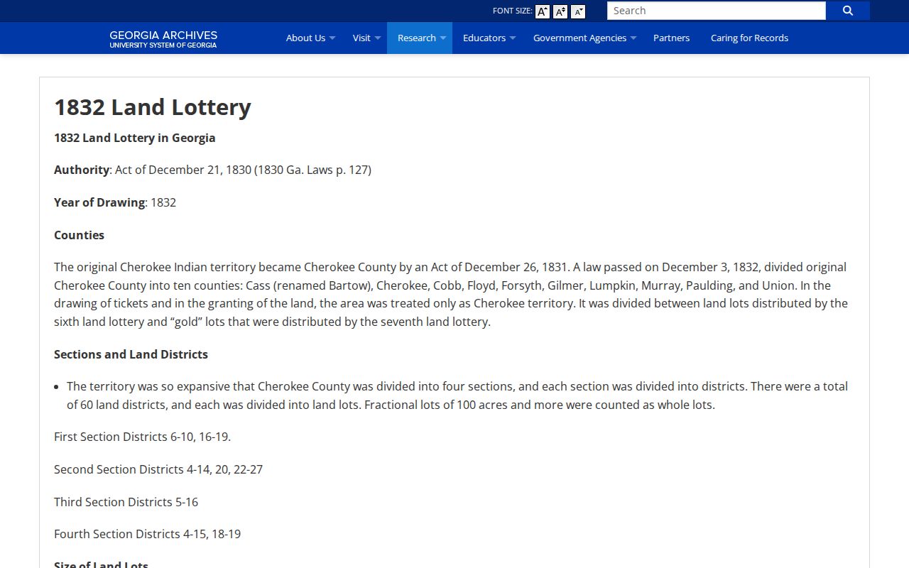
Lottery evidence identifies an early land grant context, not a later household at a modern address. Link it to plats, deeds, and legal land descriptions before drawing a property conclusion.
History Cherokee's Deep Collection
History Cherokee reports more than 100,000 documents, photographs, oral histories, maps, artifacts, family histories, and objects tied to county people and businesses. Named holdings include map, historic-resource survey, Canton Cotton Mills, photography, and William “Buddy” Alexander collections. The research library is at the History Center, 221 East Marietta Street in Canton, and is available by appointment Tuesday through Saturday.
No complete Cherokee reverse-directory run was verified online. Ask staff for the exact title page, year, abbreviation key, and street section before citing a directory entry. The 2005 Canton directory is verified, as is an undated directory including Canton, Ball Ground, Kille, Mullin, and Woodstock. Exact publisher and broader year runs remain unresolved.
Sequoyah Regional Library supplies another access channel. In-library Ancestry Library Edition, MyHeritage, GALILEO, newspapers, and business or residential reference tools may help test a name. Cards are free to residents, taxpayers, and property owners in Cherokee, Pickens, and Gilmer with current photo identification and address verification. R.T. Jones Memorial Library in Canton has published hours across all seven days. Ask staff what local volumes are actually on the shelf before assuming that a commercial database contains Cherokee directories.
Cherokee Past Household Evidence
Owners are only one layer. A dated directory entry may identify a householder at an address, while a federal census can name a full household and show relationships, ages, and birthplaces. Cherokee census microfilm is listed for 1840 through 1880 and 1900 through 1920. The 1890 population census is essentially lost nationwide, so substitute tax, deed, probate, newspaper, and directory evidence rather than calling it a Cherokee courthouse gap.
Pair the sources in a fixed order:
- Assign each deed owner a start and end range based on recorded transfers.
- Check the closest public census schedule and confirm the location through enumeration geography, neighbors, or land facts.
- Insert a verified directory entry only for its printed year, preserving its spelling and abbreviations.
- Search Cherokee historic newspapers for an obituary, legal notice, sale advertisement, or social item tied to the name and place.
- Use a probate file to follow a deceased owner through the representative, disclosed heirs, and any property transfer.
Cherokee newspaper runs include the Cherokee Advance for 1880-1922, the Georgian for 1875-1876, the Intelligencer for 1833-1834, and the North Georgia Tribune for 1939-1965. Probate microfilm includes returns, inventories, wills, and bonds across documented nineteenth- and early-twentieth-century ranges. These sources can support who lived here before, but the date and record type must remain clear. The collections themselves are described on the Cherokee County city directory page.
Estate files are especially useful when a title holder dies. Petitions, letters, returns, and property filings may name a personal representative or legally disclosed heirs. An obituary can connect relatives and a community, while a deed shows whether the estate transferred the land. Neither record should be stretched beyond its contents. Adoption and some guardianship records are restricted, and vital certificates have eligibility rules. A lawful previous residents trail accepts those limits and follows only the public path.
Lawful use. Previous residents research supports Cherokee County house history, genealogy, estate work, and personal curiosity. Never use it to track, harass, or harm a living person.