
Cherokee County Neighbors by Block
The most reliable starting point is the parcel map, not a compiled neighbor tool. It shows the exact lots around one Cherokee County address. The assessor card then provides the titled owner, separate physical and mailing addresses, parcel number, structures, values, and sale references. Deeds, permits, voter data, and map layers add distinct facts. None creates a complete household roster.
| Source | What It Shows About a Block | Access |
|---|---|---|
| Spatialest and county GIS | Adjacent parcels, situs addresses, owners, values, structures | Free map and cards |
| LandmarkWeb | Deeds, liens, and past titled owners | 1989-current online; older index or counter |
| CherokeeStatus and CityView | Permit, contact, status, fee, and inspection evidence | Public search; registration for transactions |
| MainLayers | Zoning, boundaries, precincts, schools, flood, utilities | Free GIS layers |
| Full Georgia voter file | Registered electors in segmented street fields | Paid lawful order; protected records withheld |
A matching owner mailing address and situs can support an owner-occupancy inference, but it does not prove who sleeps there. Renters and household members may never appear on the parcel card. A business, trustee, or tax service can receive mail for an owner. Label the evidence precisely: owner of record, registered elector, permit contact, or historical occupant.
Map Cherokee County Neighbors
The county GIS makes a block more than a row of names. MainLayers includes parcels, zoning, city limits, voting precincts, school districts, floodplains, fire zones, water and sewer, and growth boundaries. Operational layers also place churches, cemeteries, schools, parks, soils, and streams. Turn on only the layers needed so lot lines remain clear.
City boundaries matter because annexation records update the GIS. A postal Canton label does not prove that a lot lies inside Canton. County permit coverage applies to unincorporated Cherokee and Waleska, while incorporated cities may keep separate files. Confirm jurisdiction from the parcel before choosing a custodian.
- Parcel
- A mapped tract used for tax and land records.
- Situs address
- The physical address assigned to the land or structure.
- Mailing address
- The place where tax correspondence is sent.
- PIN
- The parcel number that joins map, card, deed, and permit clues.
Trace Cherokee County Neighbor Parcels
Use Address mode in Cherokee Spatialest or the county GIS viewer. Keep the scale tight enough to see lot lines. Select the target and save its parcel number, physical address, and owner as separate facts. Then click only lots that touch or sit directly across from it.
- Find the address and turn on parcel boundaries.
- Click each touching or nearby lot and record PIN, situs, and owner separately.
- Compare mailing address with situs, but do not treat a match as a household list.
- Use recent sales and deed links for title changes, then check each PIN in permit search.
ArcGIS services support identify, query, and distance requests, although the research did not verify a current button labeled buffer. For a full road rather than one tight ring of lots, use the Cherokee County street directory workflow.
Cherokee County Neighbor Changes
Spatialest offers a “100 Most Recent Sales in Area” view. Use it to identify nearby sale dates and book-page references, not to speculate about the people involved. Open the cited deed in LandmarkWeb to confirm the instrument and parties. The online county index begins in 1989; earlier work moves to the linked old index-book system or the Clerk's counter.
Permits add evidence about work at each parcel. CherokeeStatus searches by street address or PIN, and CityView can show property address, application, inspection, status, and fee details. A permit contact is tied to a project, not automatically one of the neighbors.
Note: Sale and permit dates explain block change, but neither proves when a household moved in or out.
Cherokee County Neighbors and Voters
Georgia My Voter Page is an identity-based registration check, not a street browser. It requires first initial, last name, county, and date of birth. The full state voter file is the lawful source that can carry segmented residence street, unit, city, and ZIP fields with precinct and district data. A county file costs $70 under the published schedule and normally arrives electronically in about two weeks.
Georgia law bars commercial use of elector data. It withholds month and day of birth, Social Security number, email, driver's license number, and other protected items. Georgia does not register voters by party. “Last Party Voted” describes primary participation, not party enrollment, and no voter record reveals ballot choice.
The Cherokee voter registration page is the official local route for services and MVP.
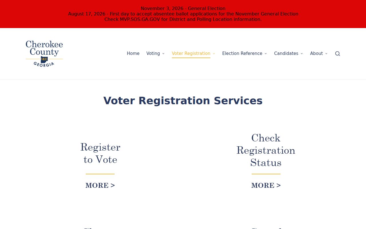
The captured page shows the proper local access channel without implying that it offers a public household list.
Cherokee County Neighbor Names
Canton planning materials name Great Sky, Laurel Canyon, Canton West, Knox Bridge, Prominence, Prominence Point Ridge, Mountain Vista Overlook, Governor's Walk, Etowah Shoals, and Pea Ridge County Pocket. These labels describe geography or development areas. They are not lists of members, residents, or owners.
No authoritative countywide HOA directory or umbrella neighborhood roster was found. Association and civic membership is voluntary and usually private unless an organization publishes a contact. Do not infer membership because a parcel falls inside a named development. Congregations and civic groups may publish officers, but that does not expose full membership.
| Community source | What may be public | What to avoid |
|---|---|---|
| Planning map | Named area and boundary | Treating the name as a roster |
| Association page | Voluntary public contact | Inferring every household joined |
| Business directory | Organization listings | Using it as a resident roll |
Weigh Cherokee County Neighbor Evidence
Official rolls and commercial neighbor tools are built differently. County sources show a record kept by a named custodian. Compiled tools merge bought, inferred, and older data, which can confuse an owner with a renter or preserve a former address. Use that category, if at all, only as an unverified lead. Never cite it as proof.
| Source type | Strength | Limit |
|---|---|---|
| Assessor and GIS | Current parcel and owner fields | Not a household list |
| Deed and permit files | Dated instruments and projects | Parties may not reside there |
| Commercial compilation | May suggest an old association | Stale, inferred, or conflated |
The safer test is whether a named custodian can correct the record. The assessor fixes parcel data, the Clerk handles deeds, and Elections handles registration. Many compiled results offer no equivalent correction path.
Date Cherokee County Neighbor Records
Deeds name titled owners at a recorded point in time. Historic directories, census pages, obituaries, and newspapers can name past occupants or households. Current parcel cards name today's tax owner. Mixing those dates creates false neighbor claims. Write the year and evidence type beside every name before comparing a block across time.
Land district, land lot, subdivision, plat, and PIN can remain stable when a street label or municipal boundary shifts. Use those land keys to connect older evidence with the modern map. A postal city still does not establish municipal jurisdiction. GIS annexation layers provide the better check.
That time discipline is especially useful in fast-growing Cherokee County, where new subdivisions and road work can change a block's physical form while old name associations persist in secondary data.
Cherokee County Neighbor Privacy
Georgia law protects Social Security numbers, account data, medical information, month and day of birth, designated unlisted phones, personal email and cell numbers, and private utility customer data. Driver records are closed. VoteSafe shields eligible voter addresses. Safe at Home provides qualifying participants a substitute public address and mail forwarding beginning July 1, 2026.
These protections explain why Cherokee County neighbors cannot be assembled into one complete public list. Respect redactions and substitute addresses. Do not use utility, association, delivery, or map data to reconstruct hidden fields. An owner, resident, registered voter, permit contact, and past occupant are distinct types of evidence.
Lawful use. Learn about a Cherokee County block for civic curiosity, history, or personal safety. Never use records to watch, stalk, harass, threaten, or intimidate your neighbors.